

Residents who participated in the City of Battle Ground’s parks master plan process strongly opposed removing the Little League ballfield in lieu of new trails and an arboretum in Fairgrounds Park without another being built elsewhere first.
At last week’s City Council meeting, MIG, the City’s consultant on its parks master plan, reported the public feedback collected as part of process to determine the best uses for four parks properties: Remy, Gardner Oaks, Fairgrounds Parks and Durkee.
MIG presented to the City Council which of the concepts residents liked most for each of the properties.
Remy Property
The 80.2 acre property borders the north and south sides of Southwest Scotton Way, and is directly west of the city’s Walmart Supercenter. Wetlands on the property limit the property’s development options. Most improvements would be made alongside the property’s currently existing trail next to Southwest Scotton Way. No developments are considered possible for the wetlands south of the road.
MIG Consultant Justin Martin noted that public feedback indicated an interest for a “nature exploration” concept featuring a nature play area for children, an off-leash dog park, accessible picnic space, new trails and paths, as well as an area to feature native plants. A parking lot is included on the west side of the property, accessible from Southwest 20th Avenue.
The City’s Parks Board and Planning Commission members indicate the property should be given greatest priority for development given its proximity to residential and commercial areas. The group prefers a “Wellness Adventure” theme, which differs slightly from public preference. This concept is more sports and fitness based, featuring pickleball and basketball courts, outdoor fitness stations, a splash pad, a sports field and a bike pump track. That concept would also include a parking lot.
Gardner Oaks
The 13-acre property is bordered west by state Route 503 and is east of the Walmart Supercenter. The site is south of future planned developments of a firehouse and YMCA and is bordered by single-family residential homes. The property features protected oak trees and a drainage channel running through the property’s center with 50 foot buffers.
Feedback from the public and city officials indicate a shared interest in the consultant’s “Nature Grove” concept, which is focused on nature activities. The concept features trails, including two pathways that cross the drainage channel, an off-leash dog park, flexible lawn and picnic seating, a disc golf course and a nature play area.
For public access, the concept features a parking lot that would be accessed through a future street yet to be paved, bordering the east side of the property and west of the nearby residential area. Pedestrian and bicyclist access would need to be improved upon.
City Councilor Victoria Ferrer supported implementing an outdoor space for events in the future park, which was included in an alternate outdoor art-focused concept for Gardner Oaks.
“Other than that, I’m inclined to go with a lot of what our citizen’s comments were. I like the nature [concept],” Ferrer said. “I’d like a little bit of a mix. Maybe it’s something we can talk more about, maybe taking a little bit of both aspects, and mixing it and making one plan.”
Fairgrounds Park
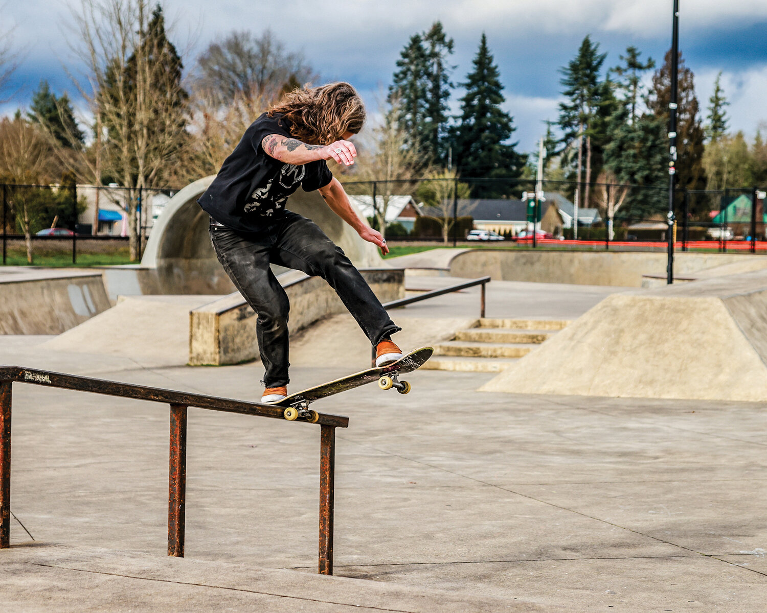
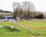
Located north of Battle Ground’s community center, the 8.6-acre park currently features a skate park, two Tee-Ball fields and three baseball fields where the city’s Little League plays. The site currently includes a developed parking lot for community center access, and a gravel parking lot bordering south of the baseball fields and north of the Tee-Ball fields.
While MIG’s proposal includes a bike pump track, as well as trails and arboretum, public feedback opposed those ideas at the expense of the existing amenities.
“[There’s a] preference for the ‘Play Through the Ages’ concept, which is the one that would remove the ball fields, with the caveat that another place is found for those ball fields,” Martin said.
Martin noted that the Parks Board opposed the ballfield’s removal unless a new field is built elsewhere. According to Communications Director Alisha Smith, the Durkee property, located roughly one mile east of city limits, shows the most promise as an alternate site due to the required square footage for ballfields.
The proposed concept would also replace the park’s gravel parking lot with tennis and pickleball courts and add basketball courts. For public access, the concept includes proposed pedestrian connections on Northeast Fairgrounds Avenue.
Durkee Property
The 35-acre property is bordered south by Northeast 219th Street, the only adjacent road. Located nearly a mile east of city limits, the property was deeded to the city by Clark County in 2012. The Durkee family gave the property to the county with the intention of making it into a park, according to MIG. Consultant Mike Abbaté noted that the developable area borders a stream to its west, creating the potential for beautiful views.
Battle Ground locals have expressed support for two of the concepts for Durkee. The first plan suggests sports fields and basketball, pickleball and tennis courts. The other concept, “Nature Connection,” includes adding a nature play area and a forest labyrinth. The concept also includes view points centered around the property’s wetlands and streams.
The parks board and planning commission shares similar interest in the two concepts, with eyebrows raised regarding the sports-focused concept, according to Martin.
“Some concerns were raised that the concept option wasn’t really in line with the donor’s intent originally from the property,” Martin said. “... A few folks liked the nature connection and also thought that was more in line with the intent for the property originally.”
Abbaté noted that the only foreseeable way to make the park accessible is to build a road on the southwest side of the property, connecting to Northeast 219th Street.
“Even that location has some challenges because [there’s] a creek that’s just further west of the entry,” Abbaté said. “This would probably require some road widening to get access to the site if it’s intensely developed.
MIG and the Parks Board are currently developing final concepts for the four properties. The City will host another open house for public feedback before developing the master plan.
The final parks master plan, once approved, will serve as the vision for future park improvements at those properties.